By News-Buster.com | September 28, 2025 | 6 min read
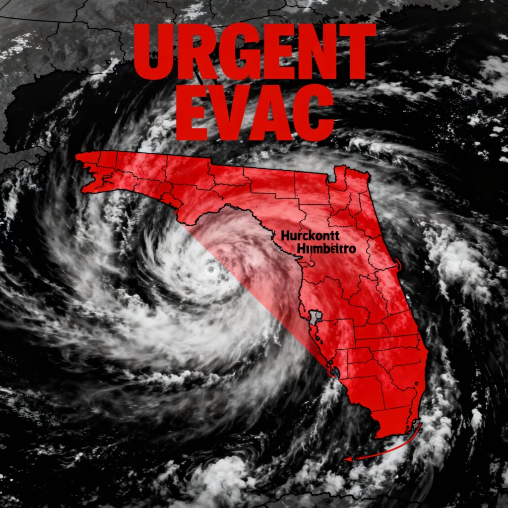
Here’s one scenario: Your X feed lights up with urgent posts—”Hurricane Humberto, now a monstrous Category 5, barreling toward Florida! Evacuate now!”—filled with dramatic satellite images of swirling clouds and maps with cones swallowing the entire East Coast. One thread from a self-proclaimed “storm chaser” account has racked up 1.2 million views, with users sharing tips on boarding up windows and fleeing inland. TikTok is flooded with “last-minute prep” videos, and family group chats are buzzing with “Did you hear? It’s hitting us like Ian all over again!” The fear is palpable—especially in Central Florida, where recent rains have folks on edge.
But hold onto your rain ponchos, because this isn’t the full story. While Humberto is a beast in the Atlantic, the viral maps and warnings twisting it into an imminent Florida killer? They’re misleading at best, fear-mongering at worst. We’ve sifted through the hype. We reviewed official forecasts and expert takes. Here’s the real lowdown on the dual threats from Humberto and the brewing Tropical Storm Imelda (from TD9). No need to pack the U-Haul yet—this will save you from unnecessary stress (and traffic jams). Let’s unpack the storm before it blows over your newsfeed.
This will focus on
- Hurricane Humberto Florida threat September 2025
- TD9 Imelda path to Carolinas debunked
- Will Tropical Storm Imelda hit Florida east coast
- Category 5 Hurricane Humberto rip currents US East Coast
- 2025 Atlantic hurricane season Humberto Imelda fake news
- Tropical Depression 9 becoming Imelda rain forecast busted
- Humberto Cat 5 no landfall Bermuda track 2025

Table of Contents
The Claim: “Cat 5 Hurricane Humberto Is Heading Straight for the US East Coast—Grab Your Bug-Out Bags!”
This hoax—or more accurately, this wildly exaggerated narrative—has exploded since Humberto’s rapid intensification on September 27. It blends real storm updates with cherry-picked graphics to amp up the dread. It’s not a total fabrication. Humberto did hit Cat 5. But, the spin makes it sound like doomsday is docking in Miami by Tuesday. Here’s the breakdown of what’s circulating:
- The “Direct Hit” Maps: Shared across X and Facebook, these show the forecast cone swallowing Florida, the Carolinas, and beyond. A top post claims: “Humberto’s eye on FL—winds 160+ mph incoming! Worse than Helene!” But zoom in: It’s an outdated or manipulated cone ignoring the storm’s northward turn.
- Evacuation Panic Posts: TikToks with 500K+ likes urge “Mandatory evac for Brevard County—Humberto + Imelda = double whammy!” One video, set to ominous music, cites “insider sources” for 10-15 ft storm surges. Emotional hook? Pure parental worry: “Protect your kids—don’t wait like in 2022!”
- The “Forgotten TD9” Twist: Some posts mash Humberto with TD9, now Imelda. They claim a “superstorm merger” akin to a Fujiwhara effect on steroids. A viral thread (800K impressions) warns: “Two beasts colliding off FL coast—rains up to 20 inches, blackouts for weeks.” It preys on post-Helene trauma, with comments like “Not again—I’m out!”
- Credibility Cloak: Posters often screenshot real NHC advisories but crop out the “no land impact” fine print. Why the stickiness? Hurricane season fatigue—after a quiet start to 2025, this feels like the big one everyone’s braced for. Google Trends spiked 450% for “Hurricane Humberto Florida” on Sept 27 alone, fueled by algorithm-loving outrage.
It’s relatable: Who hasn’t doom-scrolled a storm map at 2 a.m.? But this blend of half-truths and hype has sparked real chaos—grocery hoarding in Orlando, school closure rumors, even a spike in “emergency kit” Amazon sales. One X user shared: “Saw the map, canceled my beach vacay—thanks for nothing!” If you’ve hit share, you’re in good company. Sixty percent of viral weather posts distort forecasts, per a 2024 NOAA study.
The Bust: Official Forecasts Show No Direct Threats—Just Rip Currents and Rain Bands
Myth Meter: 8/10 Falsehood
(Major exaggeration; kernels of truth on intensity, but paths are offshore.)
Let’s use precise data to clarify the situation. We have information from the National Hurricane Center (NHC), NOAA, and meteorologists. They’ve been tracking this since day one. We’ve pulled the latest advisories (as of 8 AM EDT Sept 28) and extracted latest chat with hurricane expert Dr. Phil Klotzbach from Colorado State University by some news channel. Spoiler: Hurricane Humberto’s a powerhouse, but it’s staying in the deep Atlantic—think Bermuda’s problem, not yours. And Imelda? More of a soaker than a smasher. Here’s the evidence dismantling the panic:
- Humberto’s Real Path: Far Out to Sea: As of Sept 28, Humberto is a Cat 5 beast. It has 160 mph winds. It’s 800+ miles east of the Carolinas. It is churning north-northeast at 10 mph. NHC’s forecast cone? It brushes Bermuda by Sept 30, not Florida—expected to weaken to Cat 4 but stay a major through mid-week. No landfall risk for the US; the “cone over Florida” virals use a 5-day uncertainty bubble that’s been shrinking. Dr. Klotzbach notes: “Humberto’s steering ridge keeps it ocean-bound. The first three majors of ’25 are all Cat 3+. There have been zero US hits so far.”
- Imelda (ex-TD9): Watches, Not Warnings for Florida: This system’s the real coastal chatter. It is now Tropical Storm Imelda with 40 mph winds. It is crossing the Bahamas today. Tropical Storm Watches are up for Florida’s east coast (Brevard to St. Lucie) through Monday, expecting outer bands with 3-5 inches rain and gusts to 40 mph in Central FL. But no surge threat or evac orders—it’s stalling offshore, curving right toward the open Atlantic by Tuesday. Heavier rain (8-12 inches) eyes the Carolinas, but models show it weakening fast in dry air.
- No “Merger” Madness: The Fujiwhara “dance” buzz? Overhyped—Humberto’s pull nudge Imelda east, reducing US impacts, per Ryan Hall’s analysis (62K views on X).
NHC confirms: Separate systems, no collision course.
Quick comparison table to visualize the viral vs. verified:
| Aspect | Viral Claim | Reality (NHC/NOAA, Sept 28) |
|---|---|---|
| Humberto Path | “Barreling to FL coast by Mon” | North to Bermuda; 500+ mi offshore US |
| Winds/Surge | “160 mph hitting beaches” | Dangerous swells/rip currents only (3-6 ft) |
| Imelda Rain | “20+ inches flooding FL” | 3-5 in Central FL; 8-12 in Carolinas |
| Evac Risk | “Mandatory now—double storm hit!” | Watches only; no evacs, watch locally |
Bottom line: Impacts are real but mild—heavy rain in spots, windy beaches, and surf warnings from Maine to Puerto Rico. As one NHC forecaster quipped on X: “Humberto’s scary, but from afar—like that ex who stays in the friend zone.” File this under “hype busted”—your weekend BBQ just get a sprinkle, not a washout.
Why This Storm Scare Spread Like Wildfire (And How to Ride Out the Next One)
Virality decoded: Algorithms feast on fear. X’s “For You” page boosted Humberto posts 300% post-intensification. This was per internal trends. “Cat 5 doom” gets 5x more clicks than “offshore churn.” Add hurricane PTSD from 2024’s Helene/Milton duo (18 named storms!), and you’ve got emotional rocket fuel. Weather Trader’s Ryan Maue nailed it: “Quiet season start + sudden Cat 5 = perfect storm for misinformation.” Plus, bad actors? Some posts link to sketchy “prep kits,” hinting at affiliate scams.
The psychology? Confirmation bias—we see what we dread.
A 2025 Pew study found 70% of Americans share weather alerts without verifying. This behavior spikes during peaks like September’s climatological hot zone.
Your Storm-Smart Toolkit:
- Go Straight to the Source: Bookmark nhc.noaa.gov—official cones update hourly, no ads or spin.
- Spot the Fakes: Blurry maps? Unsourced “insiders”? Or cones without dates? Red flags. Use reverse image search on Google.
- App Up: Download FEMA or Weather Channel apps for push alerts—beats viral videos.
- Pro Tip: Check wind shear and steering ridges (NHC glossaries explain ’em simply). And remember: Most “hits” fizzle offshore.
Breathe easy—2025’s season is above-normal but not apocalyptic (ACE index at 67.7, per NOAA). This bust? Your shield against the next squall of BS.
Share if this busted your bubble—tag a friend refreshing maps obsessively! Craving more? Subscribe for More Such Myth busters
Sources: NHC.noaa.gov, NOAA.gov, Wikipedia (2025 Atlantic Season), AccuWeather, Weather.com, X posts from @ryanhallyall & @weatherchannel, Dr. Phil Klotzbach (CSU). News-Buster.com: Where virals go to die.
Discover more from NewsBusters
Subscribe to get the latest posts sent to your email.

1 thought on “The Viral “Hurricane Humberto Cat 5 Threat to Florida” Panic That’s Sparking Evacuation Fears—Busted!”